New Zealand’s indigenous biodiversity is highly unique. Most of our native species exist nowhere else on Earth. 

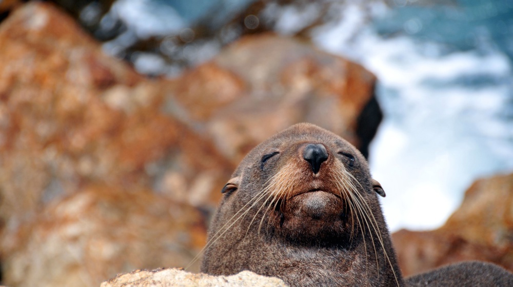
Otago is large (3.1 million hectares) and one of the most ecologically-diverse regions of New Zealand – from the alpine lakes of the West to Central Otago’s dryland environments, and the coastal forests of the East. We are internationally renowned for our unique wildlife – from albatross, penguins and sea lions along the Otago coastline, to skinks and geckos, through to alpine parrots in the West.

Biodiversity strategy and action plan

Biodiversity (short for biological diversity) describes the variety of all living things. It includes the diversity of species, their genetics and the ecosystems they live in. 

Regional threat assessments

ORC has been working with panels of experts to complete regional threat assessments of various groups of species in our region. So far, reports have been produced documenting the regional conservation status of reptiles and bats in Otago. 


Hura te ao gecko (Mokopirirakau galaxias). Photo: Carey Knox


Maps of Otago’s indigenous ecosystems and fauna habitats

The ORC has compiled information on the extent of Otago’s indigenous ecosystems and of habitats for fauna in these online maps. 

Glossary of terms

Ecosystem – A dynamic complex of plant, animal and micro-organism communities and their non-living environment (water, minerals, other physical factors) interacting as a functional unit. 

Fauna – the animals of a particular region or habitat. 

What information is shown on these maps?

The maps include current and ‘potential’ ecosystem extent for Otago. The ‘potential’ ecosystem extent is an estimate of where indigenous ecosystems would exist today if humans had not arrived in the region. The ecosystem classification system used in creating these maps is for terrestrial (land) and wetland ecosystems. 

The current and ‘potential’ ecosystem maps provide insights into the degree of ecosystem change since human arrival, with potential uses of the maps including to inform revegetation and ecosystem restoration projects. 

The maps of significant habitats of indigenous fauna across Otago’s terrestrial, freshwater and marine realms are for 20 groups, e.g., bats, birds. 

These maps provide a baseline of indigenous biodiversity in Otago and will help inform where we work with partners and communities to maintain and enhance indigenous biodiversity. 

Why create these maps?

The maps will be used by ORC for a variety of purposes, including to: 

  • Provide a ‘baseline’ of the extent of indigenous ecosystems in Otago 
  • Identify and prioritise areas for further ecological survey 
  • Identify and prioritise areas across Otago where we can work in partnership with agencies and communities to actively manage indigenous biodiversity 
  • Inform conversations and consultations for regulatory and compliance work 

The maps could be useful for you as a starting point to guide restoration projects by looking at the kinds of indigenous vegetation may have been present in a particular area, are likely to be present now, or what fauna is in the area that needs protecting. ORC will continue to refine the current ecosystem maps. 

These maps are a collection of publicly available data and local knowledge. Please note, this information should be used for indications only. 

If you would like further advice about the data on these maps: 

Email customerservices@orc.govt.nz 
Call 0800 474 082

Related information

Singers and Rogers (2014 is a national classification system for terrestrial and wetland ecosystems developed by the Department of Conservation | Te Papa Atawhai. It was adopted by the ORC so that its programme would complement the work of the Department of Conservation and other regional authorities who have also used this classification for their ecosystems.

Otago Native Planting Guide

The guide and map aim to assist Otago residents to restore our native vegetation and habitats by providing native plant species lists that reflect the natural ecology of Otago.

It’s been designed to encourage restoration of native biodiversity in your backyard, farm, or local area.