-
-
-
-
-
-
-
-
-
-
-
-
-
-
-
-
-
Andersons Pond Margins
-
-
-
-
-
-
-
-
-
-
Andersons Pond Margins
Description: None available.
Type/Class: Swamp. 2
Size: 2.6 ha.
Altitude: 360-370 m above sea level.
Approximate location: 2.4 km Northeast of intersection of George King Memorial Drive and Wehenga Road, Clarks Junction. NZTM (centre point): E1387530 N4931240
Regional Plan: Schedule 9 Regionally Significant Wetland, no.3, Map F52.
Territorial Authority: Dunedin City Council
Interactive map of Andersons Pond Margins
| Value | Description |
| A5 | Scarce in Otago in terms of its ecological or physical character. Less than 15% of swamps remain in Otago. 2 |
| A1-A4, A6-A9 | No relevant information is currently held by the ORC. |
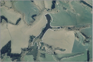
Aerial View of Andersons Pond Margins (March 2006)
2. Ausseil, A.G., Newsome, P., Johnson, P, (2008) Wetland Mapping in the Otago Region. Landcare Research Contract Report prepared for the Otago Regional Council.
Was this page helpful?
Page last updated 6 August 2024
Page last updated 6 August 2024