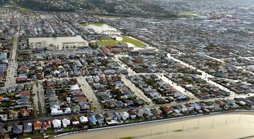
Flooding refers to the covering or submerging of normally dry land with water.
Flooding can occur where:
- Water overtops the active channel of a stream or river
- When a water body such as a lake or lagoon rises and spills beyond its margins
- In areas where the ground surface cannot absorb excess water from heavy rain and/or the water table rises to above the ground surface
- Or in coastal areas where sea water extends beyond high tide level and submerges normally dry land in tsunami or storm surge events
Flood hazards can cause significant damage to property and infrastructure and pose a significant threat to people, particularly where flood waters are fast moving and/or deep.

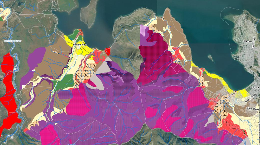
You can find information about areas we have identified as being at risk of flooding in the Otago Natural Hazards Database Portal (NHDB).
The NHDB holds mapped information on flooding from past events and regional flood plain mapping, to mapping of areas affected by coastal hazards such as Storm surge and Tsunami. . More detailed flood hazard modelling under different climate scenarios has also been carried out for selected locations in Otago including the Dart/Rees rivers and the Buckler Burn catchment near Glenorchy.
Please refer to the Flooding and Coastal Hazards tabs in the NHDB Portal to view this information as maps and access the supporting source reports. The NHDB does not show areas affected by flooding due to overloading of the urban storm water network.
Climate change is expected to bring more frequent and intense rainstorms to the stream catchments that feed rivers and lakes in Otago. This may cause more frequent flooding in low lying areas next to river and lake margins. In coastal areas, sea level rise is expected to raise groundwater levels towards the surface. This may reduce the ability of the ground to absorb excess water during heavy rainfall events and storm surge, causing surface flooding in areas where the ground water table rises to the surface.
More information on climate change in Otago is available on our Climate Change pages.

Te hurika o te āhuaraki Climate change
Earth experiences natural changes in its climate, the rate of these changes. The impacts we observe today are the result of historical emissions, and the increase in emissions in recent decades will lead to significant change in the coming years.

Otago Natural Hazards Database
Our hazards database is intended to improve public access to hazard information and to help the public, local authorities, and others make informed decisions about their exposure to natural hazards.
