We don’t show the 844 Dunedin bus-stops on the network map in the booklet-style timetable – but there are several other ways you can access bus information, including Google Maps, Journey Planner, and on www.orc.govt.nz/dunedinbus
Feedback from one bus-user said Google Maps was a great way to plan her bus journeys and another said Journey Planner worked well. The Google Maps driven Journey Planner tool is accessible from www.orc.govt.nz/dunedinbus.
Give it a go — it’s as simple as entering your departure point and where you want to go. Journey Planner will recommend the correct bus to take, the route it will travel, and bus stops along the way. By zooming in on your route, you can see each bus-stop – shown by a white bus inside a blue square.
Other useful information is the walking route to your nearest bus-stop and from your bus stop to your destination at the other end.
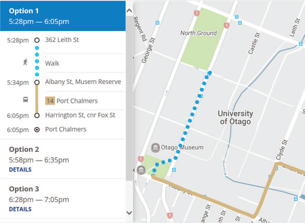
Journey Planner showing the 14 Port Chalmers bus route, bus stops and walking route
If you need further information, you can call our bus helpline on 03 474 0287 or email transportoperations@orc.govt.nz.
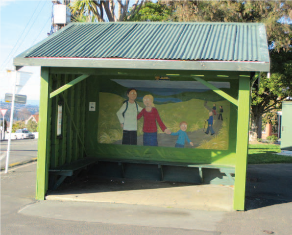
Maori Hill’s colourful bus-stop
Look for this column in your Star every week as the Otago Regional Council keeps you informed about changes to your bus services.