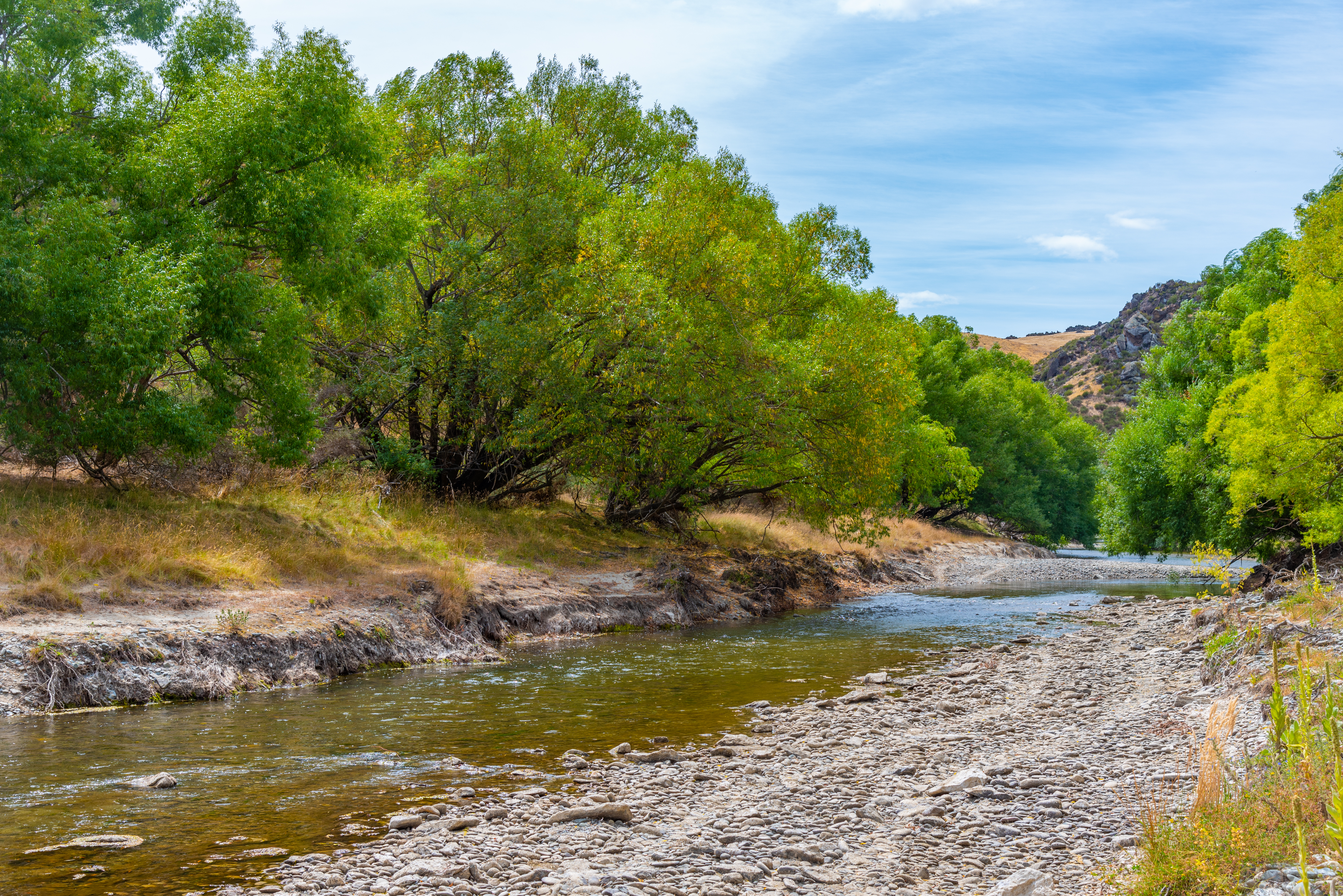
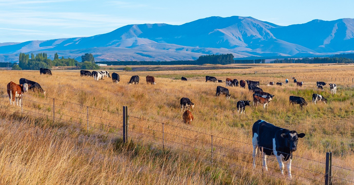
As of 12 January, a number of Otago waterways are now recording low flows - which puts additional stress on the waterways and their ecological values - including the Manuherekia, Lindis, Taieri, Cardrona, Shag, and Waiwera catchments.
Other monitoring locations are also near low flow situations. When minimum flows are hit, consent holders must cease taking water.
Rivers throughout Otago are now running low and we need people to conserve water and use it efficiently, if taking from rivers, lakes or streams, says ORC’s Acting General Manager Regulatory, Jo Gilroy.
While there is a small amount of rain in the immediate forecast, it is unlikely to be enough to make a substantial difference to river levels over the long term. The longer-term weather outlook is for generally hot dry conditions, she says.
“If the current dry period continues for an extended period, particularly in the driest parts of
inland Otago, we’ll continue to see a number of rivers run low, so we’re asking people to take practical steps now to reduce water use.”
Ms Gilroy said council staff in the particularly dry Manuherekia catchment, for example,
had been out walking the river checking for adverse effects on the instream values.
“ORC staff are preparing; we are discussing water use, updating contacts and sharing where members of that community can find information. We know this is a stressful time for people and are ensuring they have the information they need to make decisions.”
“The Regulatory Data team has been phoning or emailing holders of consents in all the catchments that have gone into low flows, as well as monitoring telemetered water takes daily. Members of our Environmental Monitoring Team are out weekly to all the low flow refence sites checking the state of the rivers at those points and checking the accuracy of the flow data.”
“Landowners are listening and acting, and we are pleased to see some communities are taking control of the situation themselves and grouping together to manage water. We would like to acknowledge their important work. “
“Whilst we enjoy a hot and dry summer, Council may need to consider a water shortage direction if low river levels continue. If this became necessary, this measure would be forecast and communicated ahead of time so landowners can prepare.” Ms Gilroy says.
A water shortage direction is where Councils ask people to restrict, suspend or share taking water, as occurred during very dry conditions in Southland in 2022. Taking the more challenging step of a water shortage direction is possible under the Resource Management Act.

Low flows in the Manuherekia River early last year: ORC files
Ms Gilroy said this is one tool in the toolbox, but that through continued great work by Otago’s
water users and wider community we can take steps now to conserve water to avoid this step.
“Communities should be planning now for how they are going to ensure they have feed for their stock over winter.”
“We ask all affected communities in Otago to work together and share water to make it last as long as possible, rather than wait longer when rivers may become even more stressed.”
Ms Gilroy says Landowners should ensure they maintain efficiencies around stockwater infrastructure such as checking for leaks.
“For those that can still irrigate, it is common sense to stick to good practice principles, such as maintaining suitable irrigation depths and irrigating at times of day when water is more likely to be absorbed. Those in urban areas are encouraged to follow the water use restrictions in place by their local Council and be mindful of their water use as well.”
So that people can check river flows, ORC has an environmental data portal that collates data from more than 250 water monitoring sites around Otago.
The system gives people access to a user-friendly map which includes improved context of what is happening across the region, plus the ability to view and download historical data.
For more information on low flows in Otago’s monitoring sites, please go
to https://www.orc.govt.nz/managing-our-environment/water/water-monitoring-and-alerts;


