-
-
-
-
-
-
-
-
-
-
-
-
-
-
-
-
-
Find your freshwater area
-
-
-
-
-
-
-
-
-
-
-
-
-
-
To reflect Otago’s environment, we divided the region into five Freshwater Management Units (FMU).
The Clutha Mata-Au FMU, being quite large, is further divided into five rohe, which means “area” in te reo Māori.
An FMU is a body of freshwater that is of a manageable size for setting objectives and limits. It can be a river, part of a catchment, or a group of catchments. All regional councils are required to set FMUs.
The concept of ki uta ki tai – from the mountains to the sea – recognises the movement of water through the landscape and the numerous interactions on its journey and is a key influence in forming FMU boundaries. It is a way of approaching managing our environment in a sustainable way. Ki uta ki tai acknowledges that cultural, land use, geological and scientific maps and other relevant information, all work together to play a part in long term management of the environment.
Larger FMU are subdivided into smaller areas (rohe), to acknowledge the unique values for different parts of a catchment. They also provide practical areas for consultation.

Catlins FMU
The Catlins Freshwater Management Unit (FMU) is located along the southern coast of Otago.

Dunedin & Coast FMU
The Dunedin & Coast Freshwater Management Unit (FMU) spans over 1,000 square kilometres and runs from just south of Karitane down to the mouth of the Clutha/Mata-Au.

Dunstan Rohe
Within the Clutha Mata-Au FMU, the Dunstan Rohe runs from the outlets of lakes Wānaka, Whakatipu and Hāwea down to Clyde Dam and includes the Kawarau, Nevis, Shotover, Upper Clutha/Mata-au, Hāwea, Cardrona, Arrow, and Lindis Rivers.

Lower Clutha Rohe
Within the Clutha Mata-Au FMU, the Lower Clutha Rohe includes the Pomahaka catchment, as well as several other river catchments that feed the Clutha/Mata-au.

Manuherekia Rohe
Within the Clutha Mata-Au FMU, the Manuherekia Rohe is based on the catchment area of the Manuherekia River.
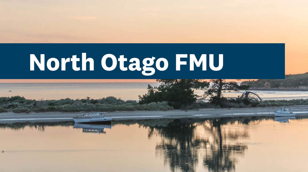
North Otago FMU
The North Otago Freshwater Management Unit (FMU) covers about 296,000 hectares and extends from Waitaki Bridge down through Oamaru, Moeraki, and Palmerston townships to the bottom of the southern branch of the Waikouaiti River.

Roxburgh Rohe
Within the Clutha Mata-Au FMU, the Roxburgh Rohe extends from the Clyde Dam to Beaumont, and covers Alexandra, Clyde, and Roxburgh.

Taiari/Taieri FMU
The Taiari/Taieri Freshwater Management Unit (FMU) covers the entire Taiari/Taieri River catchment, reaching from Taiari/Taieri Mouth across the Taiari/Taieri Plain into the Strath Taiari/Taieri and Maniototo Basins.

Upper Lakes Rohe
Within the Clutha Mata-Au FMU, the Upper Lakes Rohe covers the lakes of Whakatipu, Wānaka and Hāwea, from their tributaries to their outlets and is around 7,000 square kilometres.