-
-
-
-
Investigations and reports
-
-
-
-
-
-
-
The Clutha Delta Natural Hazards Adaptation Programme relies upon a strong foundation of technical work, built up over the last 10+ years by ORC and others.
View all the detailed information, assessments and reports below. This page will be updated as new information becomes available.

Otago Regional Council commissioned NIWA (now Earth Sciences New Zealand) to undertake an assessment of the river morphology – the shape of the river channel and how it has changed through time. The report analyses eleven surveyed cross section profiles of the river alongside Balclutha dated from 1994 to 2024, as well as other survey information dating back to 1878.
The assessment shows that in recent decades, the general trend is that riverbed levels at most locations have generally fallen or stayed at similar levels. There have been some changes such as gravel bars moving and these can appear larger or more prominent during periods of low river flows which may lead to perception of a gravel build up, but data shows that any gravel accumulation has been localised and relatively minor in scale.
The assessment gives us a solid understanding of the river in its current state and should give assurance to residents about what they’re seeing. We appreciate people getting in touch to share their observations about any changes they’ve seen in the river, local knowledge and reporting is important.
The assessment shows that mean riverbed levels are stable or falling at all cross sections except one (at the state highway bridge) where there is a weak rising trend. This local gravel accumulation has minimal to no impact on flood water levels and flood hazard.
Changes in the Clutha River/Mata-Au riverbed at Balclutha and in the wider Clutha Delta area are regularly monitored by ORC. If gravel builds up and did present an impact on the flood hazard, ORC will investigate the targeted removal of gravel. Gravel removal will need to be considered carefully, as removing gravel starves locations downstream which can cause erosion, including at the coastline and may affect flood protection infrastructure such as floodbanks.
As well as giving assurance about the state of the Clutha River at Balclutha, this assessment will also be used by ORC as information for our flood protection work. Monitoring of the Clutha River will continue.

June 2025
Graeme Smart, Arman Haddadchi
National Institute of Water & Atmospheric Research Lt
2025196CH
PDF | 4 MB
In this report NIWA has analysed historical changes in Balclutha river bed levels to help understand any significant trends and to guide river management strategies into the future.

March 2025
PDF | 6 MB
This assessment of the Clutha River / Mata-au looks at the shape of the river channel near Balclutha and how it has changed through time.


August 2025
Tonkin & Taylor Ltd
1093960 v1.0
PDF | 2 MB
A systematic Qualitative Risk Assessment (QRA) for seismic and co-seismic hazards within the Clutha Delta, to provide insight to guide future decision-making and to support emergency management planning

June 2025
Tonkin & Taylor Ltd
1093960 v1.0
PDF | 11 MB
This report work builds on previous assessments by incorporating additional geotechnical data collected to improve the understanding of liquefaction vulnerability across the Clutha Delta.

Information and updates about the Clutha Delta natural hazards adaptation programme are provided as reports to Councillors.
6 March 2025
PDF | 8 MB
Matters for consideration include updates on the Climate Resilience and Regional Infrastructure Fund (RiF) Tranche 1 programme, the Engineering renewals programme for year one of the 2024–2034 Long-term Plan (excluding government-funded projects), the Clutha Delta natural hazards adaptation programme, and the Otago Regional Council’s flood forecasting and public information services.
8 May 2024
PDF | 20 MB
The agenda includes updates on natural hazards adaptation work at the Head of Lake Whakatipu and the Clutha Delta, with progress reported on hazard assessments, engagement planning, and the findings of the Phase 1 Socio-economic Impact Assessment for Whakatipu. Councillors will also consider endorsing the Otago Regional Council Asset Management Plan 2024, which covers flood protection, land drainage, and river management infrastructure.
8 February 2024
PDF | 36 MB
The agenda covers updates on natural hazard adaptation for the Clutha Delta and Head of Lake Whakatipu, groundwater monitoring in South Dunedin, and the Lower Taieri flood risk assessment. It also includes a report on wildfire hazard and ORC’s delivery of civil defence responsibilities for the first half of 2023/24.
The reports presented on 7 August 2024 include information on significant erosion damage at the Koau/Pūerua coastal mouth.
7 August 2024
PDF | 9 MB
The agenda covers updates on natural hazard adaptation for the Clutha Delta and Head of Lake Whakatipu, groundwater monitoring in South Dunedin, and the Lower Taieri flood risk assessment. It also includes a report on wildfire hazard and ORC’s delivery of civil defence responsibilities for the first half of 2023/24.
November 2023
PDF | 20 MB
The agenda includes updates on the Head of Lake Whakatipu natural hazards adaptation strategy, including recent modelling, peer review, and a funding application for nature-based solutions. Councillors will also receive updates on the Clutha Delta adaptation programme and developments in the use of MetService radar data to support ORC’s flood response.
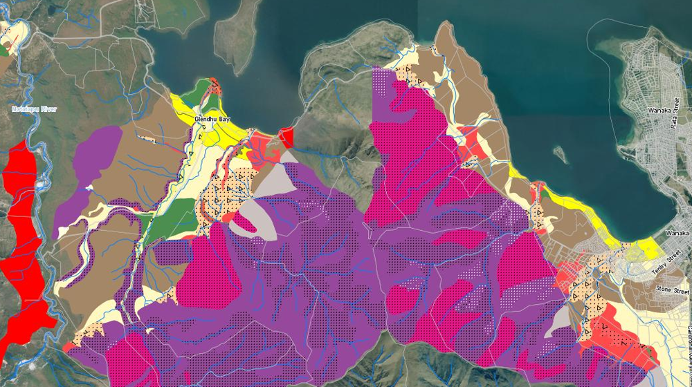
This report informs the Committee of the findings of an investigation of the shape and structure of the coast hazards at the Clutha Delta - Molyneux Bay.